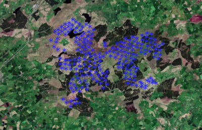
OSM Turbines
Introduction
windPRO contains a database of existing turbine locations derived from the Open Street Map project.
The dataset is not comprehensive as contributions are made by volunteers on an ad-hoc basis. The database only contains the positions for the turbines, not the type, rating or dimensions - but it may still be helpful in identifying nearby turbine positions which may influence your calculations in windPRO. The database has global coverage.
Please note:
- Import data: Is done by accessing the drop-down menu in windPRO: 'Data' -> 'Online WTG Data'
- What data is available? WindPRO will parse the available and relevant data - and add it to the WTG Object. WindPRO will also write the available metadata into the 'Description' tab of the 'Existing WTG'-Object.
Update Frequency
This dataset is typically updated once a year.
Licence
OpenStreepMap data is free to use under an open licence, as long as OpenStreetMap and its contributors are credited.
The OSM licence FAQ deals with many of the licence questions: http://wiki.openstreetmap.org/wiki/Legal_FAQ
External Links
- Homepage for the Open Street Map project: https://www.openstreetmap.org
- Homepage for the Open Street Map foundation: https://wiki.osmfoundation.org/wiki/Main_Page
