Uploads by ThomasJ
Jump to navigation
Jump to search
This special page shows all uploaded files.
| Date | Name | Thumbnail | Size | Description | Versions |
|---|---|---|---|---|---|
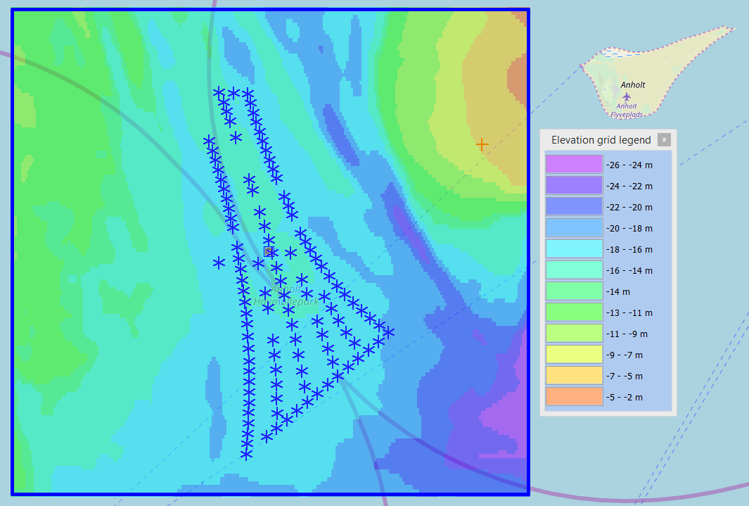
| 09:36, 18 February 2019 | EMODNetBathymetryAnholt.png (file) |  |
83 KB | EMODnet Bathymetry data in windPRO. Offshore site near Anholt, Denmark | 1 |
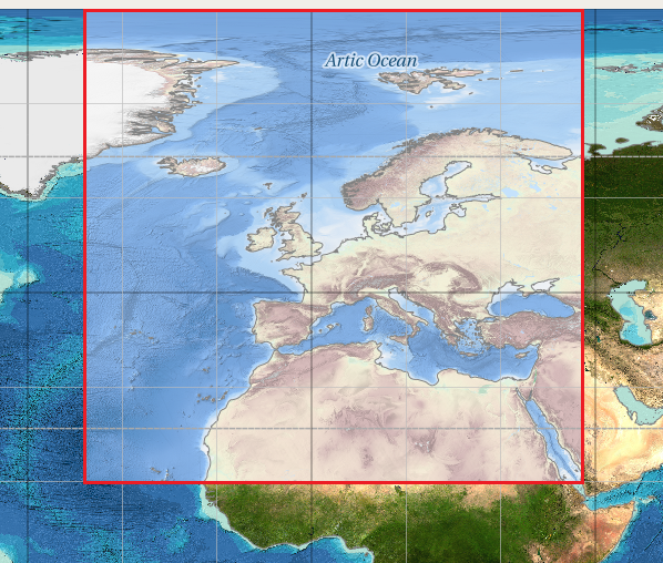
| 08:55, 18 February 2019 | EMODNetBathymetryCoverage.png (file) |  |
640 KB | Coverage of EMODnet Bathymetry data | 1 |
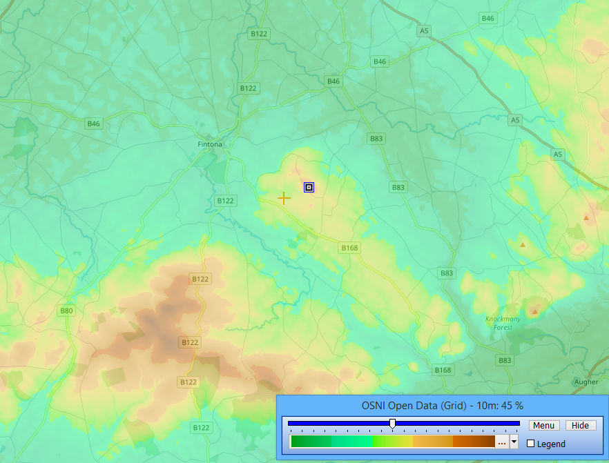
| 11:58, 13 August 2018 | OSNIOpenData.png (file) |  |
556 KB | OSNI Open Data, © 2015 Land & Property Services | 1 |
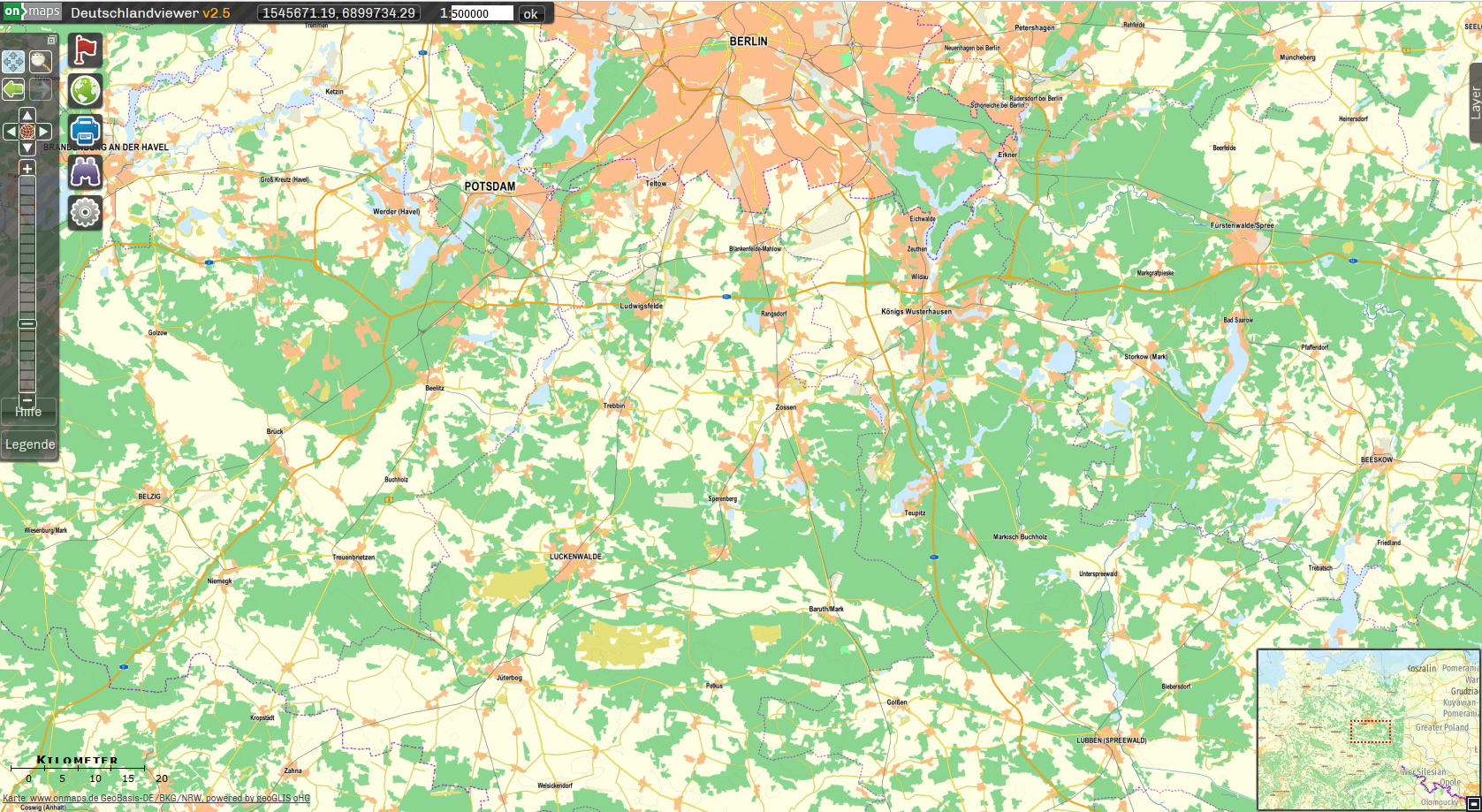
| 07:52, 27 October 2017 | OnMaps Example.png (file) |  |
1.01 MB | OnMaps sample from https://onmaps.de | 1 |
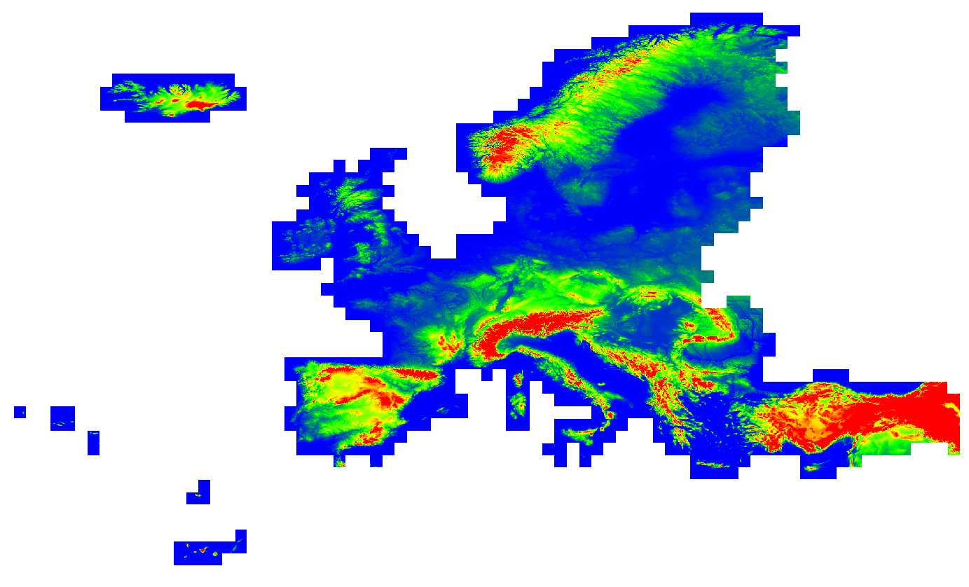
| 09:55, 30 November 2016 | EU-DEM-Coverage.PNG (file) |  |
447 KB | Coverage of EU-DEM dataset | 1 |
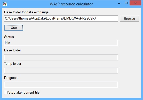
| 13:55, 18 March 2015 | WAsPResourceCalculator.jpg (file) |  |
46 KB | WAsP RESOURCE Calculator opened separately when performing RESOURCE calculations. | 1 |
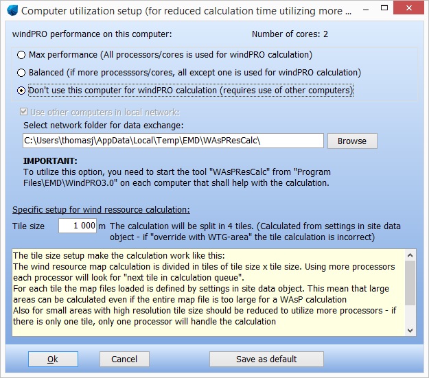
| 13:55, 18 March 2015 | MultiCoreSetup.jpg (file) |  |
168 KB | Multi core setup available in e.g. the RESOURCE calculation | 1 |
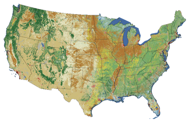
| 08:59, 6 March 2015 | National Land Cover Database 2011.png (file) |  |
416 KB | National Land Cover Database 2011 | 1 |
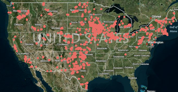
| 16:08, 5 March 2015 | USGS Wind Farm Coverage 2013 07.png (file) |  |
480 KB | Wind Farm coverage from USGS, July 2013. | 1 |
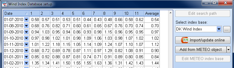
| 13:44, 29 May 2013 | DKWindIndexData.png (file) |  |
39 KB | Example of DK WindIndex Data | 1 |