Difference between revisions of "Shuttle Radar Topography Mission"
Jump to navigation
Jump to search
| Line 11: | Line 11: | ||
== Acknowledgement == | == Acknowledgement == | ||
| + | |||
| + | == External Links == | ||
Revision as of 18:21, 22 May 2013
Shuttle Radar Topography Mission (SRTM)
Introduction

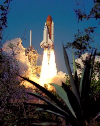
The Shuttle Radar Topography Mission (SRTM) data originate from an 11 day mission flown by the space shuttle Endeavour back in February, 2000, on its mission STS-99.
The raw data was collected using an instrument named “Spaceborne Imaging Radar-C”. The raw data was later processed and released as usable digital grid files. About 80% of the total landmass of the Earth is mapped by the STRM data, covering all land between 56 degrees south and 60 degrees northern latitude. A view of the data coverage is shown in Figure 2.