Difference between revisions of "German DGM datasets"
Jump to navigation
Jump to search
| Line 13: | Line 13: | ||
* Nordrhein-Westfalen (Resolution 5m) - see separate documentation page [http://help.emd.dk/mediawiki/index.php?title=German_NRW_Elevation_Model here] | * Nordrhein-Westfalen (Resolution 5m) - see separate documentation page [http://help.emd.dk/mediawiki/index.php?title=German_NRW_Elevation_Model here] | ||
* Rhineland-Palatinate (Resolution 25 m) | * Rhineland-Palatinate (Resolution 25 m) | ||
| − | * Thuringia (Resolution 25 m) | + | * Thuringia (Resolution 5m and 25 m) - see separate documentation page [http://help.emd.dk/mediawiki/index.php?title=German_Thuringia_Elevation_Models here] |
* Bavaria (Resolution 50 m) | * Bavaria (Resolution 50 m) | ||
* All of Germany (Resolution 200 m) | * All of Germany (Resolution 200 m) | ||
Revision as of 13:59, 3 December 2019
Introduction
The DGM datasets are official survey data of the respective Länder they are provided for (see section "Coverage" below).
Version
Except otherwise mentioned, the datasets available in windPRO are from 2017.
Coverage
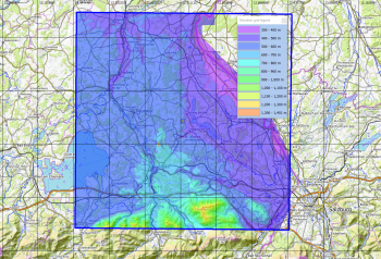
The German DGM datasets are at the moment available for the following parts of Germany:
- Saxony (Resolution 5m and 20m) - see separate documentation page here
- Nordrhein-Westfalen (Resolution 5m) - see separate documentation page here
- Rhineland-Palatinate (Resolution 25 m)
- Thuringia (Resolution 5m and 25 m) - see separate documentation page here
- Bavaria (Resolution 50 m)
- All of Germany (Resolution 200 m)
License, Conditions of Access and Use
The provided datasets are available under an open data license permitting free commercial use under the precondiction that the data provider is mentioned.
