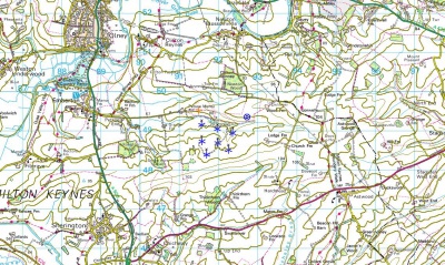
UK-Land-Form PANORAMA
Introduction
Land-Form PANORAMA is a digital elevation dataset for Great Britain: Two versions of the dataset exist: one vector-dataset that provides height contours with a 10 m vertical spacing and one gridded dataset with a grid-spacing of 50m. The resolution of the dataset corresponds to a 1:50000 mapping. Please note that the dataset is unmaintained; it has been withdrawn by the Ordnance Survey and is not longer updated. The Land-Form PANORAMA dataset has been superseded by OS Terrain 50, which is also available in windPRO - see here.
Dataset Overview
- Spatial Coverage: The whole of Great Britain (but not including Northern Ireland).
- Resolutions:
- Gridded-version: 50m grid spacing
- Contour-version; 10m contour spacing.
- Data-type: Digital Terrain Model (DTM)
- Coordinate system:
- Horizontal: National Grid coordinate reference system
- Vertical: Normally related to mean sea level at Newlyn
- Version: N/A
- Vertical Accuracy:
- Contours: Accuracy is typically better than 3 m (root mean square error (RMSE))
Usage Notes
Much more information about the OS Land-Form PANORAMA dataset is available in the technical guide. It is available here as a pdf-file.
Availability in WindPRO
The data is available from the WindPRO online services. The data can be accessed from the online-services in the following objects:
- Line Object (with purpose to height contour lines)
- Elevation Grid Object
Licence and Acknowledgement
The data is distributed according to the OS OpenData terms . Please take proper care to add proper atribution in order to acknowledge the source of information. Typically, this is done by adding the following statement to your report-picture or map:
Contains: Ordnance Survey data © Crown copyright and database right [year] Ordnance Survey
Distribution by EMD and windPRO.
Raw Data Types
- Raw vector data is stored in the DXF-format.
- Grid data is stored in either ASCII-Grid or NTF-format.
External Links
- Original data is available from the web-page of the Ordnance Survey http://www.ordnancesurvey.co.uk/oswebsite/products/land-form-panorama/index.html.
- OS OpenData Terms / Licence is available here: http://www.ordnancesurvey.co.uk/oswebsite/docs/licences/os-opendata-licence.pdf.
