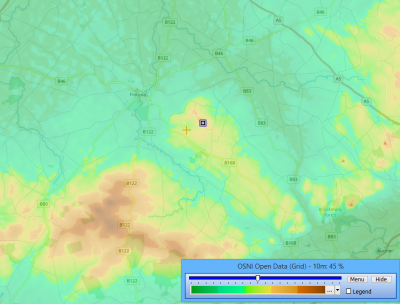
UK-Northern Ireland - OSNI-Open-Data
Introduction
OSNI Open Data is a digital elevation dataset for Northern Ireland with a grid resolution of 10m.
Coverage
This dataset covers Northern Ireland.
Technical Details
- The DTM is created from stereo-imagery
- Vertical reference: Meters above mean sea level at Belfast Lough
- Accuracy is stated to be 1.0m RMSE
Availability in WindPRO
The data is available from the WindPRO online services. The data can be accessed from the online-services in the following objects:
- Elevation Grid Object
Licence and Acknowledgement
OSNI Open Data products are free to download, use and share subject to the "Open Government Licence" which is available here: http://osni-spatial-ni.opendata.arcgis.com/
External Links
- Original data is available from the web-page of the Ordnance Survey Northern Ireland http://osni-spatial-ni.opendata.arcgis.com/
- More on the 10m Digital Terrain Model at nidirect - https://www.nidirect.gov.uk/articles/10m-digital-terrain-model-height-data
