OnMaps
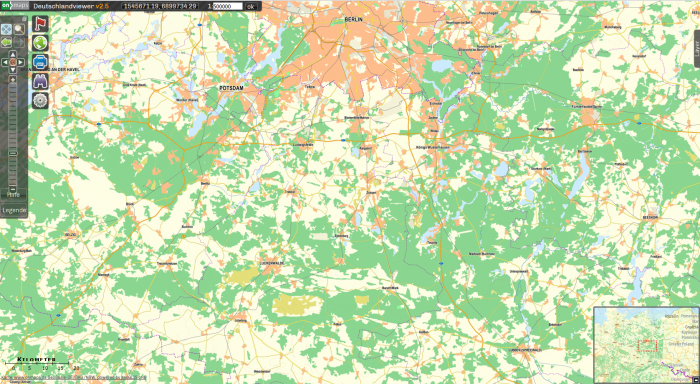
OnMaps is a topographical map service for Germany based on official governmental data and ATKIS map data. A data viewer can be found here: https://onmaps.de/ggViewer2/
The maps are available for German in different scales and with different layers. In the highest resolution (1m/pixel) buildings will be visible.
A sample of OnMaps is displayed in the figure below.
Data License
Please note that access to OnMaps in windPRO requires a license from OnMaps.de. If no license is available a you will receive a grayscale example. Please note that the OnMaps map data is freely available for the windPRO Immenhausen sample project. Additional information about licensing is available here (in German): https://onmaps.de/unsere-kartenprodukte-im-ueberblick.html
Credits
In the context of any publication or presentation of the onmaps maps online or offline, the following source code shall be indicated in a suitable place: Map: onmaps.de © GeoBasis-GB / BKG / NRW <Year of the last data reference>. Card data based on OpenStreetMap must be marked with the following references: Map: onmaps.de © OpenStreetMap-contributors / http://www.openstreetmap.org/copyright
For additional information please refer to the terms and conditions of onmaps.de found here (in German): https://onmaps.de/allgemeine-nutzungsbedingungen-kartendienst-wms-wmts-tms-offline-kacheln.html
