Uploads by Morten
Jump to navigation
Jump to search
This special page shows all uploaded files.
| Date | Name | Thumbnail | Size | Description | Versions |
|---|---|---|---|---|---|
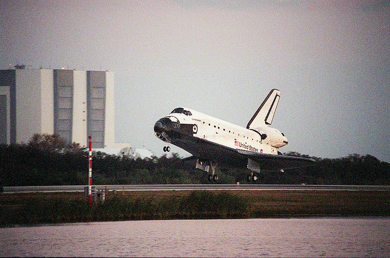
| 15:35, 22 May 2013 | 800px-Aterrizaje endeavour.jpg (file) |  |
188 KB | 1 | |
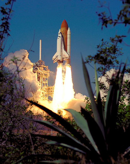
| 15:38, 22 May 2013 | EndaevourSTS99.PNG (file) |  |
597 KB | NASA Image of STS-99 Space Shuttle Endeavour. | 1 |
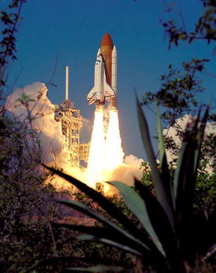
| 15:48, 22 May 2013 | Endaevour.jpg (file) |  |
50 KB | 1 | |
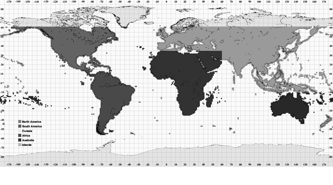
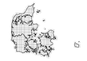
| 10:01, 23 May 2013 | SRTMCoverage.png (file) |  |
157 KB | 1 | |
| 11:24, 23 May 2013 | ExampleSRTM.png (file) |  |
706 KB | 1 | |
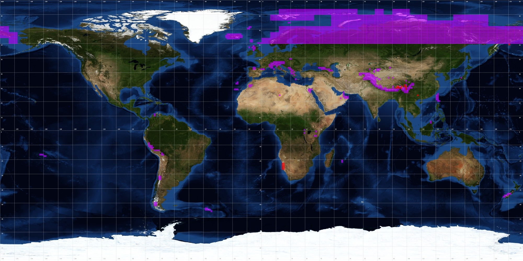
| 11:38, 23 May 2013 | ViewfinderPanoramasCoverage.png (file) |  |
3.38 MB | 1 | |
| 12:48, 23 May 2013 | SRTMNorthernIreland.png (file) |  |
184 KB | 1 | |
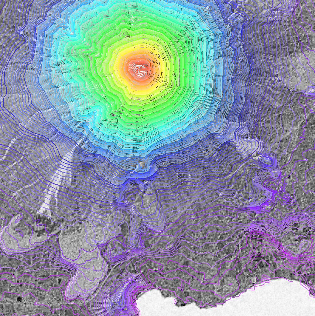
| 14:05, 23 May 2013 | AsterMountEtna.jpg (file) |  |
169 KB | 1 | |
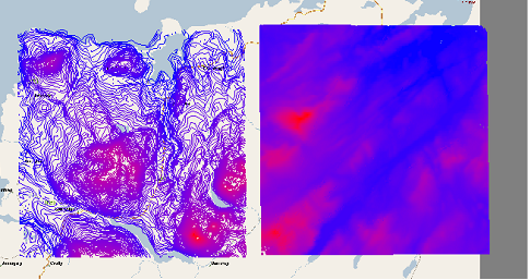
| 15:01, 23 May 2013 | AsterSkive.png (file) |  |
646 KB | 1 | |
| 15:01, 23 May 2013 | SrtmSkive.png (file) |  |
607 KB | 1 | |
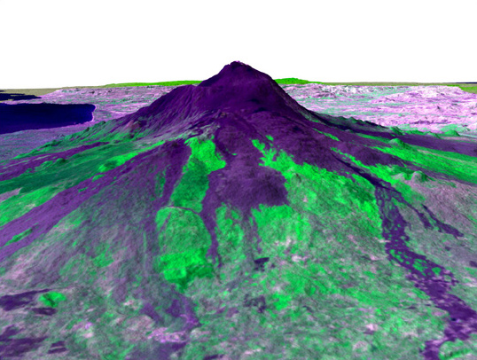
| 20:30, 23 May 2013 | LandFormPANORAMA.jpg (file) |  |
343 KB | 1 | |
| 20:35, 23 May 2013 | OsOpenDataTerms.pdf (file) | 71 KB | 1 | ||
| 21:40, 23 May 2013 | DanishDEM.png (file) |  |
1.26 MB | 1 | |
| 22:15, 23 May 2013 | FreeGeodataTermsInDenmark.pdf (file) | 64 KB | 1 | ||
| 22:24, 23 May 2013 | DanishElevationModel.png (file) |  |
24 KB | 1 | |
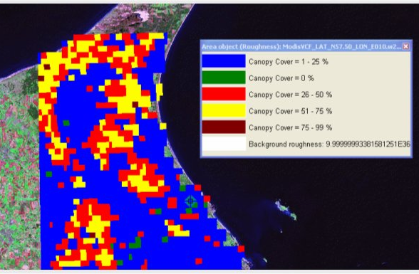
| 23:08, 23 May 2013 | ModisVCFPic.png (file) |  |
338 KB | 1 | |
| 11:10, 24 May 2013 | WindPROLogo.jpg (file) |  |
11 KB | 1 | |
| 11:39, 24 May 2013 | DataForWindCoverage.png (file) |  |
13 KB | 1 | |
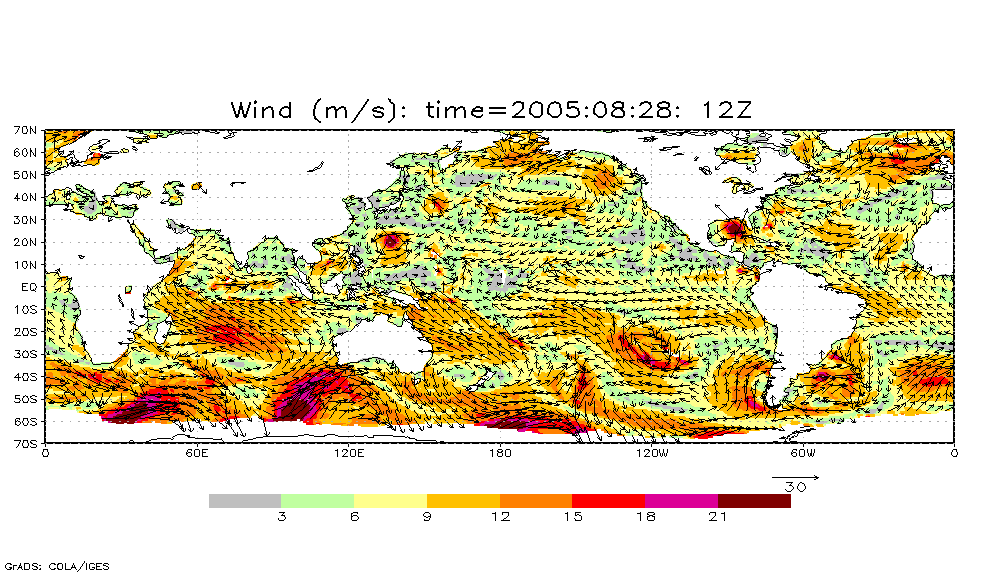
| 11:42, 24 May 2013 | DataForWindExample.png (file) |  |
297 KB | 1 | |
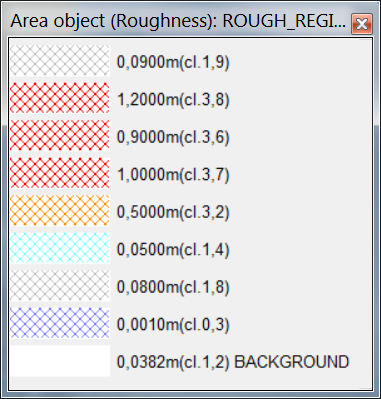
| 11:53, 24 May 2013 | DataForWindLegend.png (file) |  |
58 KB | 1 | |
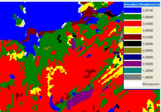
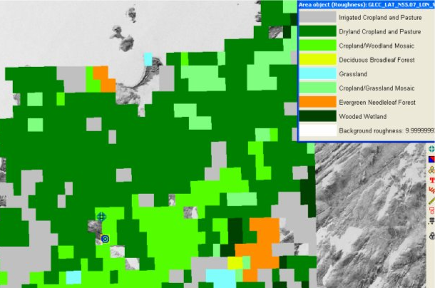
| 16:27, 25 May 2013 | GLCCandWindPRO.png (file) |  |
298 KB | 1 | |
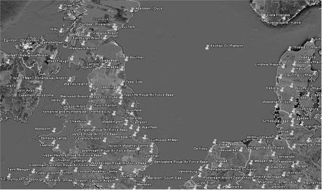
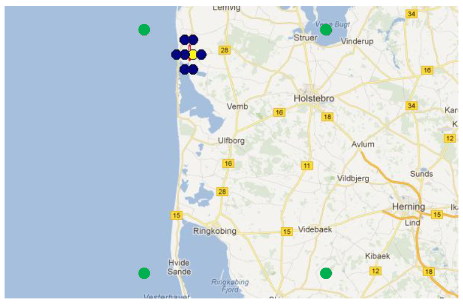
| 17:43, 25 May 2013 | SynopNorthSea.png (file) |  |
125 KB | 1 | |
| 17:46, 25 May 2013 | SynopIssueDoubleWindSpeed.png (file) |  |
50 KB | 1 | |
| 21:27, 25 May 2013 | MeteorologicalStations.kmz (file) | 303 KB | 1 | ||
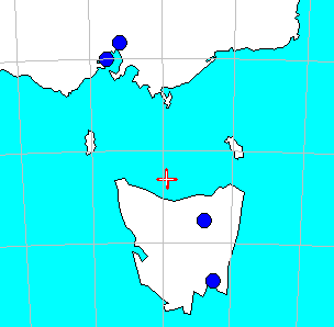
| 22:36, 25 May 2013 | METARTasmania.png (file) |  |
5 KB | 1 | |
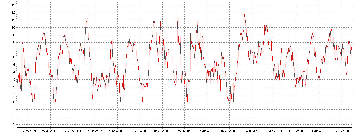
| 22:39, 25 May 2013 | METARSampleData.png (file) |  |
39 KB | 1 | |
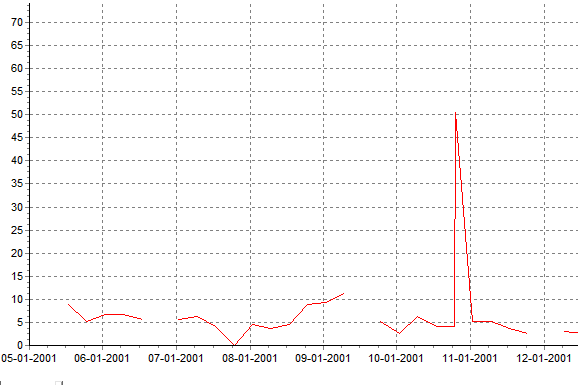
| 22:53, 25 May 2013 | MetarSpikeExample.png (file) |  |
8 KB | 1 | |
| 10:42, 26 May 2013 | NOAAOpenAccess.pdf (file) | 39 KB | 1 | ||
| 10:45, 26 May 2013 | CoastalWindsHornsRev.png (file) |  |
46 KB | 1 | |
| 10:51, 26 May 2013 | MapOfBlendedSeaWinds.png (file) |  |
58 KB | 1 | |
| 10:58, 26 May 2013 | CoverageQuikScat.png (file) |  |
47 KB | 1 | |
| 11:05, 26 May 2013 | QuikScatAtCapeHorn.png (file) |  |
225 KB | 1 | |
| 11:19, 26 May 2013 | QuikScat.png (file) |  |
36 KB | 1 | |
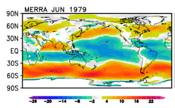
| 12:17, 26 May 2013 | MerraWindsSample.png (file) |  |
60 KB | 1 | |
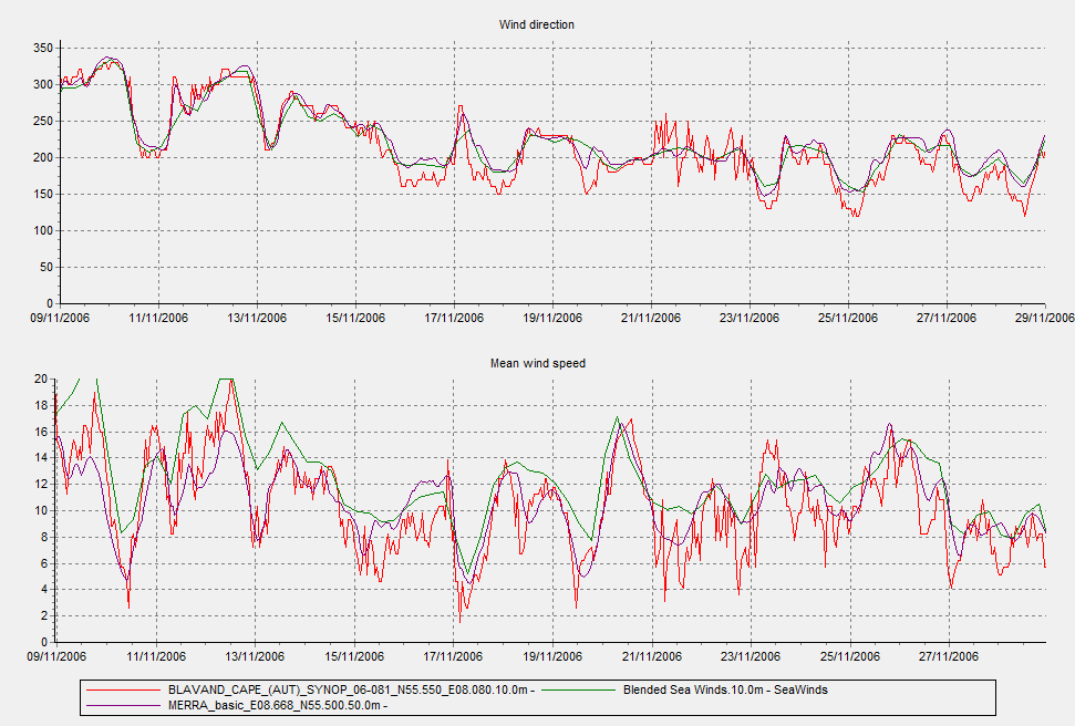
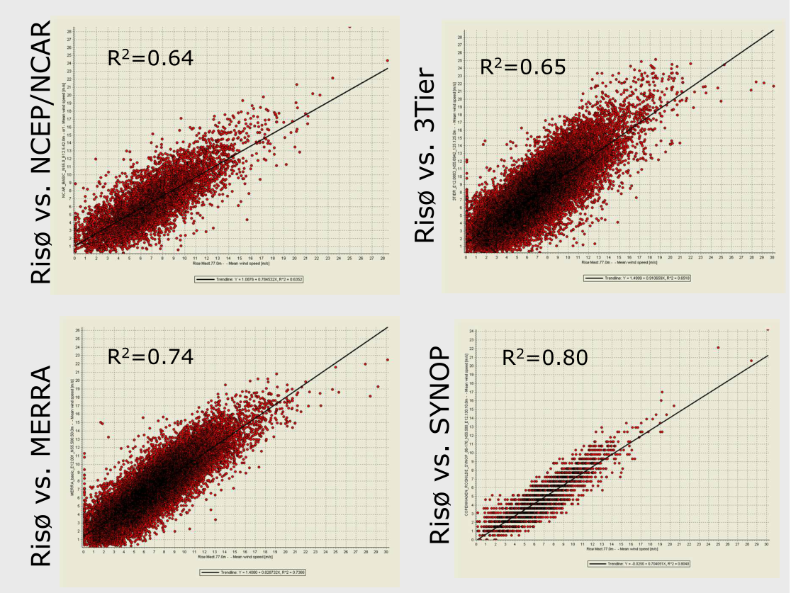
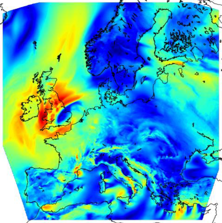
| 12:49, 26 May 2013 | MerraCorrelation.png (file) |  |
1.06 MB | 1 | |
| 13:22, 26 May 2013 | NARRmodelGrid.png (file) |  |
94 KB | 1 | |
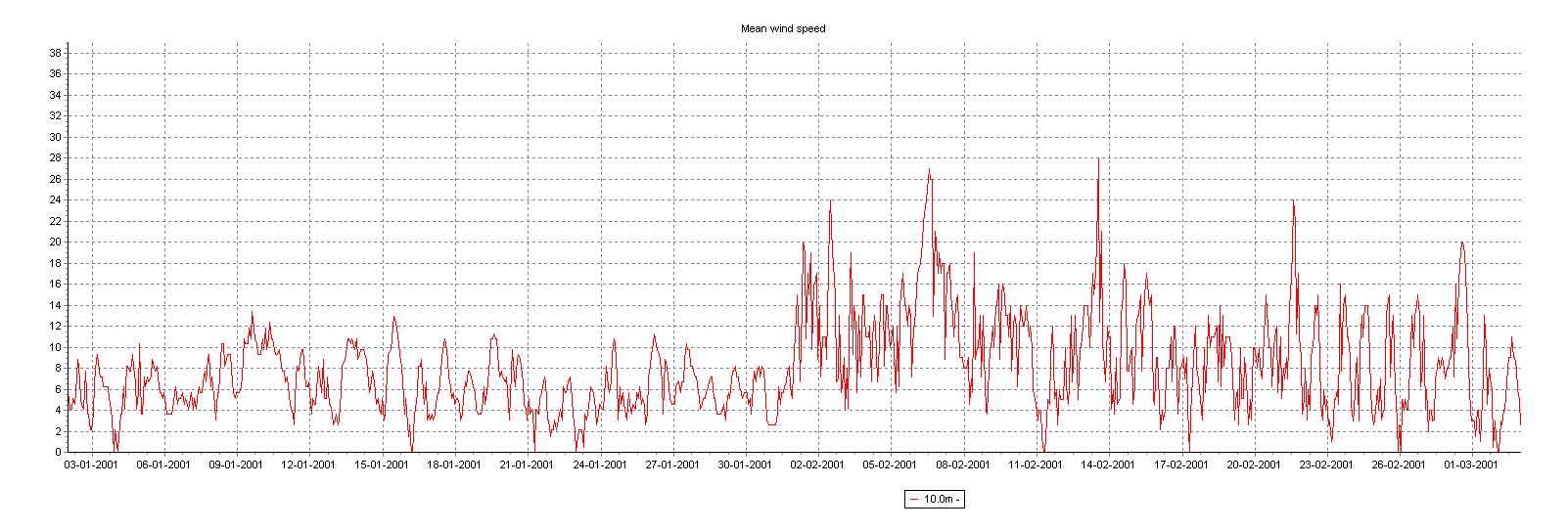
| 13:33, 26 May 2013 | WindDataExample.png (file) |  |
74 KB | 1 | |
| 13:50, 26 May 2013 | NarrAtFargo.png (file) | 337 KB | 2 | ||
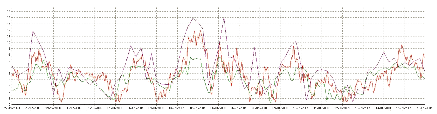
| 13:58, 26 May 2013 | Narr SteepChangeInData.png (file) |  |
395 KB | 1 | |
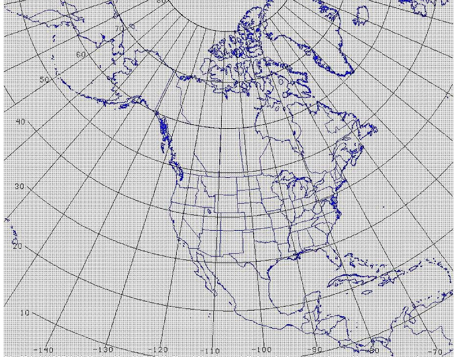
| 14:08, 26 May 2013 | NNGR Nodes.png (file) |  |
1.07 MB | 1 | |
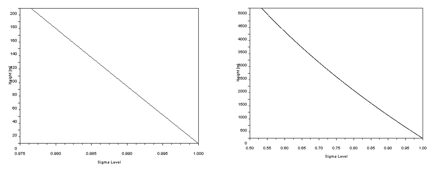
| 14:48, 26 May 2013 | SigmaLevelToHeight.png (file) |  |
58 KB | 1 | |
| 14:56, 26 May 2013 | PressureEq.png (file) |  |
1 KB | 1 | |
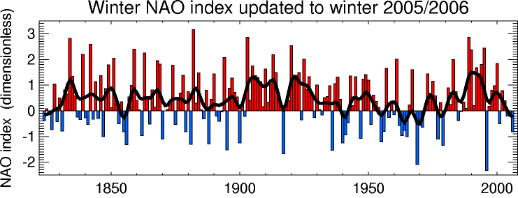
| 15:00, 26 May 2013 | NAOIndex.png (file) |  |
30 KB | 1 | |
| 15:24, 26 May 2013 | CFSRlogo.png (file) |  |
125 KB | 1 | |
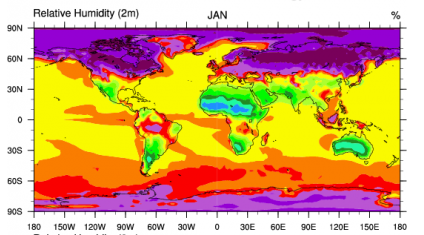
| 15:39, 26 May 2013 | CFSR RelativeHumidity.png (file) |  |
111 KB | 1 | |
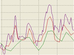
| 16:27, 26 May 2013 | Cfsr Compare7Years.png (file) |  |
23 KB | 1 | |
| 16:50, 26 May 2013 | Cfsr Compare7YearsNorway.png (file) |  |
26 KB | 1 | |
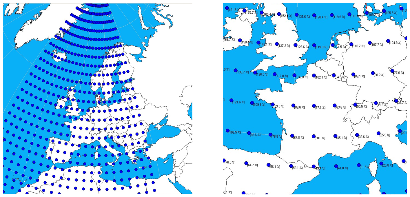
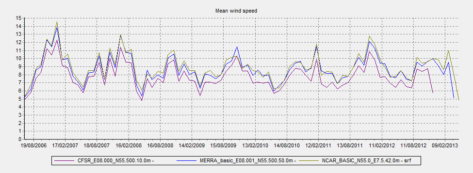
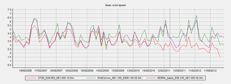
| 17:12, 26 May 2013 | EmdConwxCoverage.png (file) |  |
714 KB | 1 | |
| 17:18, 26 May 2013 | EmdConwx ModelDomain.png (file) |  |
1.79 MB | 1 | |
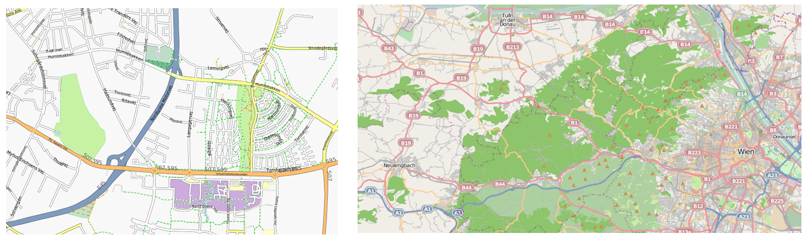
| 22:38, 26 May 2013 | OpenStreetMapSample.png (file) |  |
1,003 KB | 1 |