Category:Very-High Resolution Digital Surface Models - (DSMs)


Introduction
Very High Resolution DSMs are essential tools in modern geospatial analysis, offering detailed and accurate representations of the Earth's surface. These models are particularly valuable in engineering fields such as spatial and urban planning, environmental monitoring, and renewable energy projects. By capturing fine details of the terrain, DSMs enable precise analysis and decision-making.
At EMD, we define very-high resolution as models with a grid resolution of five meters or less. Given the extensive coverage of national models, the total size of a national model can reach many terabytes on our online-data servers. However, we aim to make working with these very detailed elevation models in windPRO as seamless as possible.
The list below shows the very-high resolution datasets currently available directly from within windPRO's online-data service. Additionally, it is easy to import standard high-resolution raster data into the windPRO elevation grid object or the result-layer.
Use Very-High Resolution DSMs in windPRO
High-resolution DSMs are invaluable for various applications in windPRO. Here are four key cases:
- Wiregrid (DSM) for Solar-PV and Wind Turbines - within Areas with Vegetation: High-resolution DSMs can be imported into windPRO to create wiregrid representations of the terrain, including vegetation. This allows for precise visualization and analysis to aid in the optimal placement of renewable assets. For solar panels, this can be used to visualize the actual visual impact of the panels from any location. Animated examples are available HERE and HERE]].
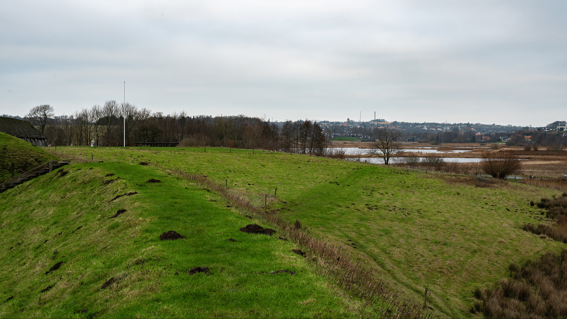
- Identification of Object Heights: By overlaying high-resolution DSMs with other data layers in windPRO, you can accurately identify and measure the heights of various objects such as buildings, trees, and other structures. This information is crucial for detailed spatial analysis and planning - and when setting up object models (obstacles, displacement-heights) for your analysis. An example identifying the height of a large structure (27.9m in height) is shown in the image to the right. An animated version is available HERE.
- Artificial Photorealistic Visualizations in windPRO-SketchUp: Import high-resolution DSMs and high-resolution orthophotos as artificial rasters into windPRO-SketchUp to create realistic visualizations of the project area. These visualizations help assess the visual impact of the project and facilitate informed decision-making.
- Photomontage (Calibrate Camera Model): Use high-resolution DSMs to prepare terrain data for photomontage as an overlay area in windPRO. Calibrate the camera model to match the real-world perspective, creating accurate and realistic visual representations of the project for stakeholders and the public.
By leveraging high-resolution DSMs in these ways, you can enhance the precision and effectiveness of your projects in windPRO.
FAQ
- What is the difference between a DEM, DTM and DSM? See our definition at the "Orography Wiki-Page".
- Where can I get such high-resolution DSM data? If you are working within one of the regions below where we have online data coverage of DSMs, simply load the data from the online-data services. If you are outside those regions, a good starting point is to consult with your local ordnance service to see if they offer the data. Other options include conducting a survey, often using aerial LiDAR or drones.
- Where should I store the DSM data in windPRO? The elevation grid object in windPRO offers a DSM data type. Additionally, the result layer is very useful for comparing (substracting) differences between DTMs and DSMs.
Pages in category "Very-High Resolution Digital Surface Models - (DSMs)"
The following 3 pages are in this category, out of 3 total.