WindPRO Global Satellite Imagery: Difference between revisions
No edit summary |
|||
| Line 3: | Line 3: | ||
== Introduction == | == Introduction == | ||
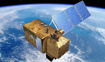
[[Image:Sentinel2Spacecraft.png|right|thumb|400px|Sentinel 2 spacecraft (Credit: ESA and Airbus)]] | [[Image:Sentinel2Spacecraft.png|right|thumb|400px|Sentinel 2 spacecraft (Credit: ESA and Airbus)]] | ||
With the release of the data-set "windPRO World Satellite Imagery - 10m", users of windPRO now have free access to high-resolution, reliable and near-real time satellite images from anywhere in the world. The color images of terrain, vegetation and urban areas can be a valuable aid when doing roughness classification studies or when you need fully updated maps for a particular area | With the release of the data-set "windPRO World Satellite Imagery - 10m", users of windPRO 3.2 now have free access to high-resolution, reliable and near-real time satellite images from anywhere in the world. | ||
The color images of terrain, vegetation and urban areas can be a valuable aid when doing roughness classification studies or when you need fully updated maps for a particular area. | |||
== Dataset Description == | == Dataset Description == | ||
Revision as of 10:51, 24 October 2017

Introduction

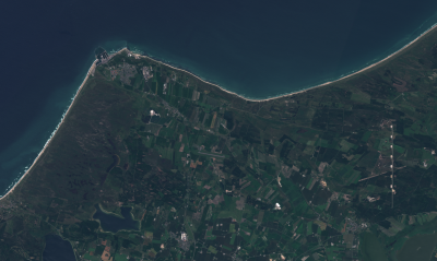
With the release of the data-set "windPRO World Satellite Imagery - 10m", users of windPRO 3.2 now have free access to high-resolution, reliable and near-real time satellite images from anywhere in the world. The color images of terrain, vegetation and urban areas can be a valuable aid when doing roughness classification studies or when you need fully updated maps for a particular area.
Dataset Description
Our "windPRO World Satellite Imagery – 10m" dataset is preview dataset. It holds a (near) cloud free dataset based on recent Sentinel-2 satellite imagery and it is available from our windPRO 3.2 release. We are continuously updating the dataset as new satellite images become available, so expect significant improvements to this dataset. At present, a true-color imagery map is available. More false-color images may be added later to ease identification of urban and vegetation areas.
Access, Resolution and Coverage
- Access: Is from within the 'Dynamic Maps' section in the windPRO background map area. You need a windPRO version 3.2+ to access the data.
- Resolution: The maximum spatial resolution is 10 m per pixel. Most data are from the period 2016 and later.
- Coverage: The "WindPRO World Satellite Imagery" dataset covers most of the globe, except the ocean areas.
Known Issues

Please note, that this is a preview data-set, so data sources and images are still being obtained and processed. So currently, you will might see a few areas to hold inconsistencies, such as:
- No data coverage - as data has still not been downloaded
- Various levels of cloud cover - as a cloud free image might not exists
- Very dark or light areas - as no brightness adjustment has been made (yet)
License and Acknowledgement
The European Commission and the European Space Agency are acknowledged for the development and release of the free and open Sentinel-2 data.
Attribution
Proper attribution for this data-set would be: "WindPRO World Satellite Imagery - 10m by EMD International A/S (Contains modified Copernicus Sentinel data 2016 & 2017)".