Category:German Elevation Models: Difference between revisions
Jump to navigation
Jump to search
| Line 4: | Line 4: | ||
== Introduction == | == Introduction == | ||
The DGM datasets are official survey data | The DGM datasets are official survey data provided by the respective federal states. | ||
In Germany, the creation of terrain models is managed by the federal states (Länder), each employing different methods. As of 2024/2025, all federal states offer freely available high-resolution elevation models. In windPRO, we have integrated the elevation models from each federal state as they | In Germany, the creation of terrain models is managed by the federal states (Länder), each employing different methods. As of 2024/2025, all federal states offer freely available high-resolution elevation models. In windPRO, we have integrated the elevation models from each federal state as they become available. Detailed descriptions and implementation specifics in windPRO can be found in the sub-pages below. | ||
== Usage Notes == | == Usage Notes == | ||
* If your project is close to a federal (Länder) state border, the list of available elevation datasets may also include data from nearby federal states. This occurs because elevation datasets from individual Länder may overlap into neighboring states, and the polygons used for coverage checks are not and cannot be 100% accurate. Therefore, when selecting your elevation dataset from the list in the windPRO line-object or elevation-grid object, we recommend choosing the one within the Länder borders of your project location. It might be further down the list, as the list is not prioritized according to geographical location. | * If your project is close to a federal (Länder) state border, the list of available elevation datasets may also include data from nearby federal states. This occurs because elevation datasets from individual Länder may overlap into neighboring states, and the polygons used for coverage checks are not and cannot be 100% accurate. Therefore, when selecting your elevation dataset from the list in the windPRO line-object or elevation-grid object, we recommend choosing the one within the Länder borders of your project location. It might be further down the list, as the list is not prioritized according to geographical location. | ||
Revision as of 09:40, 1 April 2025


Introduction
The DGM datasets are official survey data provided by the respective federal states.
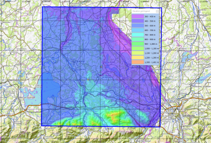
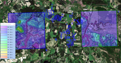
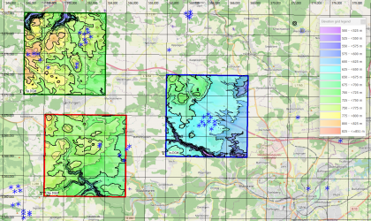
In Germany, the creation of terrain models is managed by the federal states (Länder), each employing different methods. As of 2024/2025, all federal states offer freely available high-resolution elevation models. In windPRO, we have integrated the elevation models from each federal state as they become available. Detailed descriptions and implementation specifics in windPRO can be found in the sub-pages below.
Usage Notes
- If your project is close to a federal (Länder) state border, the list of available elevation datasets may also include data from nearby federal states. This occurs because elevation datasets from individual Länder may overlap into neighboring states, and the polygons used for coverage checks are not and cannot be 100% accurate. Therefore, when selecting your elevation dataset from the list in the windPRO line-object or elevation-grid object, we recommend choosing the one within the Länder borders of your project location. It might be further down the list, as the list is not prioritized according to geographical location.
Pages in category "German Elevation Models"
The following 15 pages are in this category, out of 15 total.