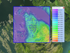
Global AW3D30

Introduction
The ALOS DSM Elevation Data covers most the the land bodies on earth in a 1 arc second grid.
Availability from within windPRO
The data are available directly from within windPRO in 1 arc second resolution. The data can be accessed from the online-services in the following objects:
- Line Object (with purpose to height contour lines)
- Elevation Grid Object
Data Type
The DSM Elevation Data are delivered as gridded data with a spatial resolution of 1 arc second. As a part of the processing of the DSM Elevation Data from our EMD server, the user has an option of choosing whether the data downloaded should be received as either raw gridded data or converted to height contour lines. In order to use the data for energy yield calculations, the data must be converted to contours.
The elevation grid is in coordinate system: Geographic WGS (EPSG:4326)
Coverage
The ALOS dataset covers most of land bodies on earth.
External Links
- More information on ALOS DSM project is available at http://www.eorc.jaxa.jp/ALOS/en/about/about_index.htm