Estonian Topographic Map: Difference between revisions
| Line 15: | Line 15: | ||
This map is generated from two different sources: | This map is generated from two different sources: | ||
'' | ''Topographic Map from Estonian Land Board in 1:10000 scale:''<br> | ||
This data-product belongs to the open data of the Estonian Land Board. The data have been licensed under a ‘[https://geoportaal.maaamet.ee/index.php?lang_id=2&page_id=618&plugin_act=litsents License of open data by Estonian Land Board]’ – dated 2018.07.01 – or at this [http://help.emd.dk/mediawiki/images/2/23/EstonianLandBoard_OpenDataLicense.pdf PDF]. Please accept the license conditions and use a proper attribution when using this dataset, such as: | This data-product belongs to the open data of the Estonian Land Board. The data have been licensed under a ‘[https://geoportaal.maaamet.ee/index.php?lang_id=2&page_id=618&plugin_act=litsents License of open data by Estonian Land Board]’ – dated 2018.07.01 – or at this [http://help.emd.dk/mediawiki/images/2/23/EstonianLandBoard_OpenDataLicense.pdf PDF]. Please accept the license conditions and use a proper attribution when using this dataset, such as: | ||
<pre> | <pre> | ||
Revision as of 22:51, 12 August 2019

Introduction
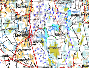
The Estonian Topographic Map is a part of the online map services in windPRO. The topographic maps in 1:10000 resolution were developed by the Land Board of Estonia – and are derived from an updated geo-spatial database. For this scale, coverage is the whole of Estonia. For coarser scales maps are generated from vector maps from EuroGlobalMap.
Usage Notes
This map is generated from two sources:
- Zoom-level 13-18 are based on 1:10000 maps that were derived from source data accessed in January 2019 - from the Land Board of Estonia.
- Zoom level 5-12 are based on vector maps. Here raster-maps are generated at different scale. These maps were derived from EuroGlobalMap data covering Estonia.
Availability from Within windPRO
- From map window: Click the ‘Add map’ globe-icon -> then ‘Dynamic Maps’
- From main menu: Click ‘Project’ -> ‘Properties’ -> ‘Background Maps’ -> ‘Dynamic Maps’
License and Attribution
This map is generated from two different sources:
Topographic Map from Estonian Land Board in 1:10000 scale:
This data-product belongs to the open data of the Estonian Land Board. The data have been licensed under a ‘License of open data by Estonian Land Board’ – dated 2018.07.01 – or at this PDF. Please accept the license conditions and use a proper attribution when using this dataset, such as:
Contains: Topographic Map of Estonia: Estonian Land Board 2012-2017. Distribution through EMD and windPRO.
Acknowledgement
- The Estonian Land Board and the pubic of Estonia are thanked for producing this digital topographic map dataset – and disseminating it in the public domain - and thus for aiding the development of renewable energy.
- “Kapsi” Finnish Internet Users Association are thanked for holding an accessible copy of the open geodata.
- Integration of this dataset into EMD services - was co-supported through the InnoWind project (www.innowind.dk) - which is co-funded by the Danish Innovation Fund
External Links
Estonian Land Board - https://geoportaal.maaamet.ee InnoWind Project - http://www.innowind.dk