Category:Bathymetry Models

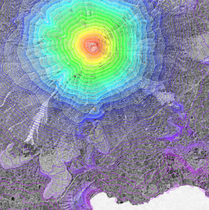
The digital height models in WindPRO are based on open internet resources. The best globally-available DHM source remains the Shuttle Radar Topography Mission (SRTM) data, but more countries (beyond the US) are releasing national data under free-data licenses. Typically these have a much better resolution than SRTM.
Considerations
When using bathymetry models based on regional or global sources, you must manually consider the accuracy of the dataset used - and if the accuracy is feasible for the intended use (such as a pre-feasibility study or an final layout). This is especially important in the vicinity of the wind farm and other associated objects, where the downloaded digital data should be validated against recent local data-sources, such a nautical maps or in-situ surveys.
Pages in category "Bathymetry Models"
The following 4 pages are in this category, out of 4 total.