NASA-DEM


Introduction
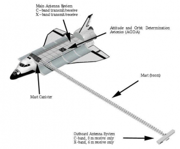
In early 2020, a global elevation model with improved digital elevation data was released by NASA through its NASADEM dataset. NASA has re-visited the telemetry data obtained by the original Shuttle Radar Topography Mission (SRTM). This data was obtained by the space shuttle Endeavour during the STS-99 mission that flew 11 days during February 2000. This original telemetry data has been re-processed with improved algorithmns and any missing (void) areas has been pacthed with better data sources, such as ASTER, ICEsat and ASTER and national models. The result is a much improved dataset over the original SRTM dataset and at 1 arc-second resolution. A quality mask is available so the source of data is easily determined. Coverage is all land masses between 60N and 65S — this corresponds to 80% of the Earths land mass. This dataset was produced by NASA - the National Aeronautics and Space Administration of the United States of America.
Dataset Overview
- Spatial Coverage: Near global - coverage is most of land bodies on earth between degrees 60N and 65S.
- Resolution: 1 arc-second (approximately 30m)
- Data-type: Digital Surface Model (DSM)
- Coordinate system (horizontal): Geographic WGS (EPSG:4326)
- Coordinate system (vertical): EGM96 geoid
- Version: WindPRO holds the 1.0 version of the NASADEM data
- Vertical Accuracy: See below - section 'Accuracy of NASADEM'.