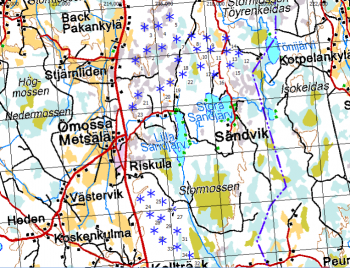
Estonian Topographic Map

Introduction
The Estonian Topographic Map is a part of the online map services in windPRO. The topographic maps in 1:10000 resolution were developed by the Land Board of Estonia – and are derived from an updated geo-spatial database. For this scale, coverage is the whole of Estonia. For coarser scales maps are generated from vector maps from EuroGlobalMap.
Usage Notes
- This map is generated from two sources:
- Zoom-level 13-18 is a 1:10000 map was derived from source data accessed in January 2019 - from the Land Board of Estonia.
- Zoom level 5-12 is based on a vector map - where raster-maps are generated at different scale. These maps were derived from EuroGlobalMap data covering Estonia
Availability from Within windPRO
- From map window: Click the ‘Add map’ globe-icon -> then ‘Dynamic Maps’
- From main menu: Click ‘Project’ -> ‘Properties’ -> ‘Background Maps’ -> ‘Dynamic Maps’
License and Attribution
This map is generated from two sources:
Source 1:10000 map: The product belongs to the open data of the Estonian Land Board. The data have been licensed under a ‘License of open data by Estonian Land Board’ – dated 2018.07.01 – or at this pdf [PDF-LINK]. Please accept the license conditions and use a proper attribution when using this dataset, such as:
Contains: Topographic Map of Estonia: Estonian Land Board 2012-2017. Distribution through EMD and windPRO.
Acknowledgement
- The Estonian Land Board and the pubic of Estonia are thanked for producing this digital topographic map dataset – and disseminating it in the public domain - and thus for aiding the development of renewable energy.
- “Kapsi” Finnish Internet Users Association are thanked for holding an accessible copy of the open geodata.
- Integration of this dataset into EMD services - was co-supported through the InnoWind project (www.innowind.dk) - which is co-funded by the Danish Innovation Fund
External Links
Estonian Land Board - https://geoportaal.maaamet.ee InnoWind Project - http://www.innowind.dk