Category:Digital Elevation Models

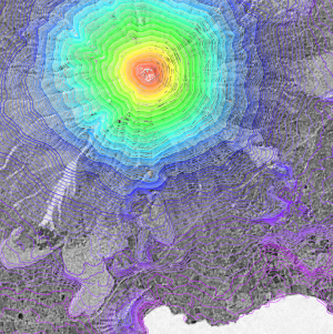
The digital height models in WindPRO are based on open internet resources. Still, the best globally available DHM source is the Shuttle Radar Topography Mission (SRTM) data.
Considerations
When using the remote sensing digital height models, you must manually consider the accuracy of the dataset used. This is especially important in the vicinity of the wind farm and the meteorological masts erected. Typically – when applying remote sensing DHMs - the height contour lines must be validated against local topographical map.
Subcategories
This category has the following 2 subcategories, out of 2 total.
Pages in category "Digital Elevation Models"
The following 63 pages are in this category, out of 63 total.